The 4 phases of the mission:
Phase 1: Geographic Information System, Spatial Mapping.
The GIS team collected the actual coordinates and projection system of the landmarks for each concession. Satellite images (Landsat and Sentinel) of the 7 concessions were acquired. The coordinates of the concession landmarks were projected onto the satellite images. All visible infrastructure (buildings, roads, power grids, bridges) and relevant areas (arable, non-arable, irrigated, etc.) were listed, identified and marked on the satellite images to create the spatial maps.
Phase 2: Field mission and validation of spatial mapping hypotheses.
The expert team visited each site. Each visit consisted of a survey and meeting with local staff and authorities to present the space-time map, official landmarks from the concession agreement, locally recognized landmarks, list of infrastructure to be visited, blocks of land types (arable/unarable, developed/undeveloped etc.). All surfaces and infrastructures listed and observed on the space-time map were visited to confirm their identification and function. Ground photos of each infrastructure have been taken with a digital camera with a GPS reference for identification. In addition, aerial drone photographs of each compound were taken and all relevant infrastructure was identified and listed.
Phase 3: Field mission with inventory and evaluation of assets.
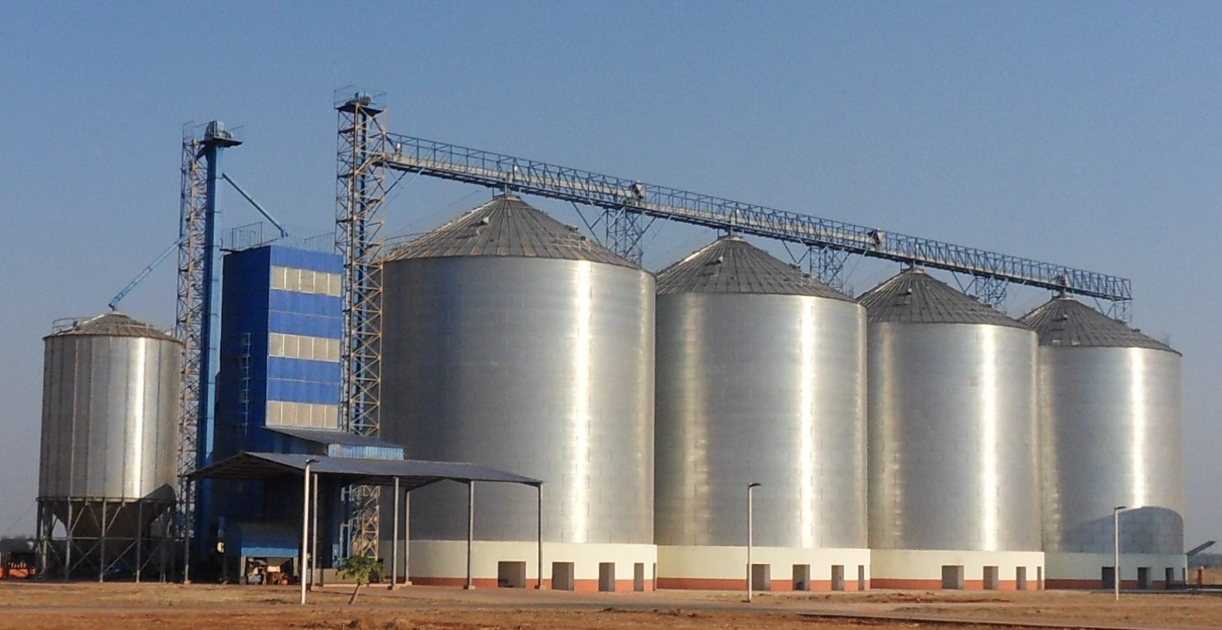
The expert team identified and assigned an identification number to all existing buildings, infrastructure, industrial facilities and warehouses and prepared the itinerary for the field mission. On site, the team of experts confirmed the nature of each infrastructure. Each expert proceeded to the inventory of the material, equipment related to his expertise. The relevant data: brands, models, technical specifications, capacities, age, current state, quantities, are listed in order to determine their value and their liquidation value according to the market price.
Phase 4: Report and restitution.
The 7 farms have a total area of 76,500 ha. Their agricultural activities are focused on the cultivation of corn, rice and soybeans. When the rain is not enough to feed the crops, irrigation systems are present to fill the gaps. Some farms raise animals: cows, pigs, broiler chickens... Five of the farms benefit from the presence of processing and drying units for cereals. The total evaluation led to a value of more than 170 million USD of assets that were listed and described for the main ones.
